You found 663 newsreels for query "Aerial survey"
"Aerial survey" newsreels and historical clips
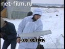
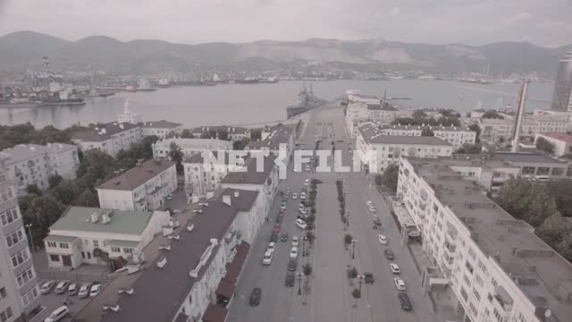
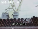
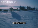
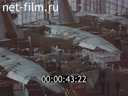
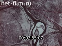
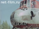
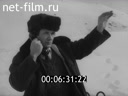
here and now 09/29/1999 1999
Telecast, 1 part, duration: 0:10:20, published: 2/20/2018
Reel №1


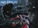
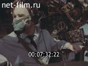
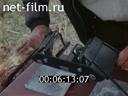
... of air strikes, on the complexities and scale of aviation's actions to destroy targets, on the actions of NATO aviation in Yugoslavia.
Personnel aerial survey of the destruction of the militants' headquarters.
Fox Toenende Wochenschau № 51 1939
Newsreel, 2 parts, duration: 0:21:16, black-white, published: 10/24/2016
Reel №2
...

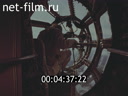
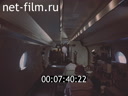
... of reconnaissance aircraft for the flight.
Installing cameras in the cockpit pilot.
Planes fly accompanied by German fighters.
The pilot is aerial surveys.
Processing negative in the laboratory.
Finished pictures of British military installations
Job-mail around Christmas time.
Soldiers in the ...
...
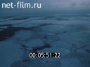
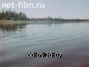
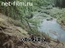
Hosts subsoil 1977
Documentary, 3 parts, duration: 0:26:16, published: 7/21/2014
Reel №1
...
... View of the road through the trees.
On tarmac terrain vehicle rides.
Drilling on the lake (air mode).
Plane takes off.
The crew in the cockpit.
aerial survey results.
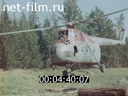
The helicopter pilot.
view from the cockpit.
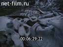
A man catches a deer.
Herd of deer in a pen.
Above bonfire smoked fish.
Helicopter landing ...
...
Film-travel almanac № 249 1990
Newsreel, 2 parts, duration: 0:19:38, published: 6/15/2014
Reel №1
...

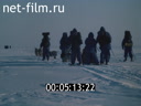
... Participants of the first Soviet-American expedition "Bering bridge" go on dog sleds, go skiing, cross the Bering Strait on motor boats.
Bering Strait (aerial survey).
Helicopter in the air.
The map, which shows the movement of the population of Chukotka and America during the Paleolithic period (according to ...
... bones in boxes.
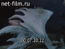
Mammoth tusk.
Member of the expedition examines the arrows found in Eastern Siberia and Alaska.
Stone arrow.
Chukotka mountains (aerial survey).
Rock paintings in the cave (photo).
Drawings, which depict the indigenous people of Alaska and Eastern Siberia.
Carving on mammoth Tusk.
Animal ...
...
Reel №2
...

... people and birds, ceremonial masks.
Photo portrait of a shaman.
Members of the expedition "Bering bridge" in Nome, near the Museum.
Photos.
Alaska (aerial survey).
Dance of the shaman.
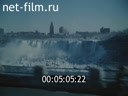
4. Geography of mercy.
Canada, views of Niagara falls.
Skyscrapers.
Road sign with the inscription "Variety Village".
The ...
...
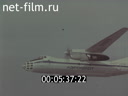
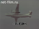
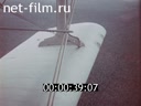
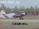
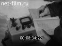
Aircraft - researcher AN - 30. 1975
Documentary, 1 part, duration: 0:09:36, published: 6/15/2014
Annotation
On the specialized aerial aircraft design OA Antonova.
Reel №1
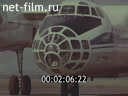
... look of the area with oil derricks (above).
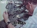
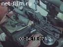
Conducting aerial photography of an airplane, the installation and preparation camera.
The pilot in the cockpit flying the plane.
Panorama of the shop aircraft factory, producing a special aerial survey aircraft.
Production process and Assembly of aircraft ...
...

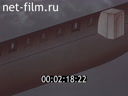
... cabin, equipped with hatches for aerial photography.
The opening aerial hatches.
Set filters on the optics and cameras of various types.
Operation diagram on cartographic aerial camera platform (animation).
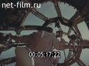
Interior view of the cabin of the an-30 with mounted aerial equipment.
View of the remote control ...

... system.
Fotoaparatai ready to shoot.
Diagram of aerial photography (animation).
Screen with light lines.
The process of aerial photography, the devices and systems of the aircraft.
Automatic reversal of cameras.
An-30 in flight, the Navigator is aerial view photograph of the area from above.
The Navigator ...
... Navigator calculates the parameters of the automatic piloting.
The scheme of the trajectory of the aerial flight (animation).
Navigator aerovodochody flying the plane, the plane in flight.
Process management software system of automatic piloting, the scheme for determining the start and end of shooting ...
... work, type of terrain photographed from above, the process of aerial photography.
The process of entering the next route without the participation of pilot, type pilot and Navigator cockpits.
Fotoaparatai at work, the counter is made of aerial photographs, the view from the Navigator's cockpit during the ...
... data on a magnetic tape.
Types of equipment on Board the an-30, the pilot in the cockpit.
View of an airplane and take pictures of the area (above).
Aerial photos taken from aircraft an-30.
Symphony metal. 1991
Documentary, 3 parts, duration: 0:29:46, published: 3/29/2023
Reel №1
...
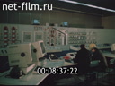
Center staff at work on the computers.
General view of NLMK's (aerial photography).
Head of the Central Laboratory of Environment V.Chereshkov says the Environmental Protection at NLMK (synchronously).
Purification plant plant (aerial photography).
View of the river Voronezh.
Fishermen on the bank ...


... ducks in a pond at the plant site.
Apples on the apple tree.
Ostriches.
Monument "Metallurg Lipetsk dedicated" on the square in front of the plant (aerial photography).
Reel №3
...

... of the Novolipetsk Metallurgical Plant (aerial survey).
The head of the Central Laboratory of Environmental Protection V.Chereshnev talks about environmental protection at the Novolipetsk Combine (synchronously).
Cleaning facilities of the plant (aerial survey).
View of the Voronezh River.
Fishermen ...

... of the plant.
Apples on an apple tree.
Ostriches.
Monument "Dedicated to the Metallurgists of Lipetsk" on the square in front of the plant building (aerial photography).
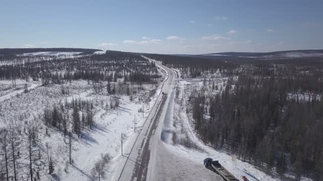
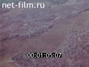
Mineralogical methods of searches of minerals 1973
Documentary, 4 parts, duration: 0:38:30, published: 7/14/2015
Reel №1

... aircraft.
The plane flies over the site of the explosion of the Tunguska meteorite.
The plane is landing.
Members of the expedition develop a film from aerial photography.
The image shows the concentric structure of the relief, which is characteristic of the paleovolcanic type structure.
The concentric structure ...
...

... manifestation of magnetite mineralization.
Maps made from aerial photographs reveal even more fully the geological structure of the studied territory.
The tectonic contact of basalts and dolerites with limestone of Silurian age is clearly read here.
Color aerial photographs make it even easier to decipher geological ...
... - clay shales.
With the help of modern equipment, geological features identified during decryption are transferred to topographic maps.
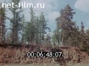
Geological survey of huge areas of the little-explored Siberian taiga is being carried out.
A helicopter takes off.
Based on the results of preliminary decryption, reference ...
... clear water.
A member of the expedition takes a pike caught from the boat.
A geologist conducts analyses in a mini laboratory in the parking lot.
An aerial photograph is considered fully decrypted if it is stopped by at least one ground route.
Geologists are going to the route, putting things in the boat ...
...
... from the route.
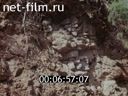
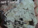
Rock samples that indicate the presence of Icelandic spar.
Amphibious detachments included in the expedition of group geological survey.
An aerial photography helicopter flies away from the object.
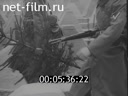
Modern methods of engineering - geological surveys for construction. 1989
Documentary, 2 parts, duration: 0:19:28, published: 2/27/2017
Annotation
Training film for university students studying surveying.
Reel №1
...

... samples.
Measurement of the natural radiation of the rock.
Based on the results of field surveys, a geological profile and a map of the studied area are compiled.
A helicopter and an airplane are flying.
Aerial photography is being performed.
Space photography.
Satellite.
The geological profile of the ...


... satellite images.
Aerial photography research.
The scheme of drains obtained from the results of aerial photography.
Ground-based phototheodolite photography is processed on stereo devices.
This treatment allows you to study the fine structure and fracturing of rocks.
Portable seismic survey station.
A falling ...

... source of seismic waves.
The measurement results are recorded by a photo-oscilloscope.
A cartoon explaining the principle of operation of a seismic survey station.
The layering of alluvial rocks is determined by electrovertical sounding.
Electric current is supplied from two earths.
A cartoon explaining ...
Keywords
Aerial photography.
Space photography.
Phototheodolite photography.
Seismic exploration.
Electric sounding.
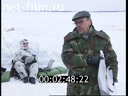
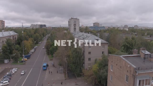
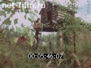
Aerial dance 1984
Documentary, 2 parts, duration: 0:13:50, published: 10/4/2016

"СЛУЖУ ОТЧИЗНЕ" ИСХОДНЫЕ МАТЕРИАЛЫ 2000-2009
Footage, 22 footages, duration: 6:13:34, published: 12/12/2023
Scene №5 Unmanned aerial vehicle "Pear"